-
 Map No. 2. Lower Division. Location of the Extension of the Lehigh and Susquehanna Rail Road.
 From a series of 9 maps, detailing the Lehigh and Susquehanna Railroad running alongside the Lehigh River from Mauch Chunk to Easton. These maps also include surveying information on local landowners, towns, and cities.
-
 Map No. 1. Lower Division. Location of the Extension of the Lehigh and Susquehanna Rail Road.
 From a series of 9 maps, detailing the Lehigh and Susquehanna Railroad running alongside the Lehigh River from Mauch Chunk to Easton. These maps also include surveying information on local landowners, towns, and cities.
-
 Map Showing Lehigh Division Canal, Mauch Chunk to Easton : Also Diagram Showing Lifts of Locks and Lengths of Levels
 This map shows the Lehigh Division Canal from Mauch Chunk to Easton.
-
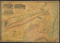 Map of the Borough and Township of Mauch Chunk
 This large map shows a map of the Borough & Township of Mauch Chunk including plans of Nesquehoning, Summit Hill, the borough of Tamaqua, and the coal works of the Lehigh Coal & Navigation Company. Included in the top left corner of the map are two manuscript illustrations depicting the Mansion House of George Esser and the Superintendent's residence.
-
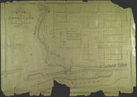 Map of City of Bethlehem
 A plan of Bethlehem. This lithograph was produced by J. Probst in Philadelphia in 1841, then the leading map publishing center in North America.
-
 Chart of the Delaware River
 An engineering survey of the Delaware River made under the direction of the Lehigh Coal and Navigation Company in preparation for canal construction.
-
 Allentown to Easton: A Chart of the River Lehigh from Allentown to Easton
 An engineering survey of the Lehigh River from Allentown to Easton made under the direction of the Lehigh Coal and Navigation Company in preparation for canal construction. In the bottom right corner of the map is a table detailing the fall of the river from Mauch Chunk to Easton. Locations of limestone ridges, hills, and nobs are also featured.
-
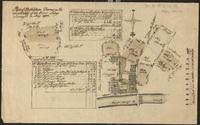 Part of Bethlehem Farms on the South Side of the River Lehy
 A pen and watercolor-on-paper survey map of the farms south of the Lehigh River by Bethlehem.
-
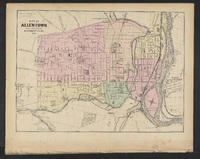 City of Allentown
 From the "New Topographical Atlas of the State of Pennsylvania; with Descriptions Historical, Scientific and Statistical, Together with a Map of the United States and Territories."
-
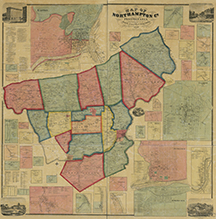 Map of Northampton Co., Pennsylvania : from actual surveys
 Map of Northampton County with multiple large scale inset maps of town centers including a large inset map of the City of Easton. The map also includes statistical tables and illustrations of selected buildings.
-
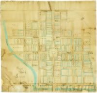 Original Plan of Easton
 Hand drawn map showing original streets and plot owners of downtown Easton in the late eighteenth century.
-
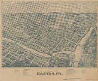 Bird's Eye View of Easton, PA. 1873
 A Bird's Eye View map showing Easton and parts of South Easton and Phillipsburg, NJ, includes reference keys for selected public and commercial buildings
-
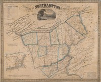 Map of Northampton County Pennsylvania 1851
 Map of Northampton County and surrounding features including the Blue Mountains, parts of Warren County, NJ and the Delaware and Lehigh Water Gaps, large scale inset map of Easton, PA.
-
 Plan of Easton [1789]
 Cadastral map of the Town of Easton
-
 Plan of the Town of Easton
 Map of the City of Easton and South Easton, Northampton County, Pennsylvania
-
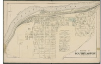 Borough of South Easton
 Map of the Borough of South Easton, Northampton Country, Pennsylvania, Philadelphia:
-
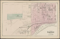 Plan of Easton Part of 7th Ward
 Map of the City of Easton's 7th Ward, Northampton County, Pennsylvania
-
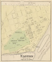 Plan of Easton Showing the Part of 3rd Ward
 Map of the City of Easton's 3th Ward, Northampton County, Pennsylvania
-
 Plan of Easton Showing the 6th Ward
 Map of the City of Easton's 6th Ward, Northampton County, Pennsylvania
-
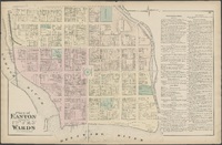 Plan of Easton Showing the 1st, 2nd, 4th, & 5th Wards
 Map of the City of Easton showing the 1st, 2nd, 4th, and 5th Wards, Northampton County, Pennsylvania,
-
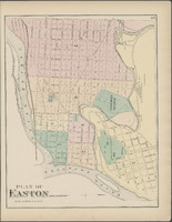 Plan of Easton
 Map of the City of Easton, Northampton County, Pennsylvania
-
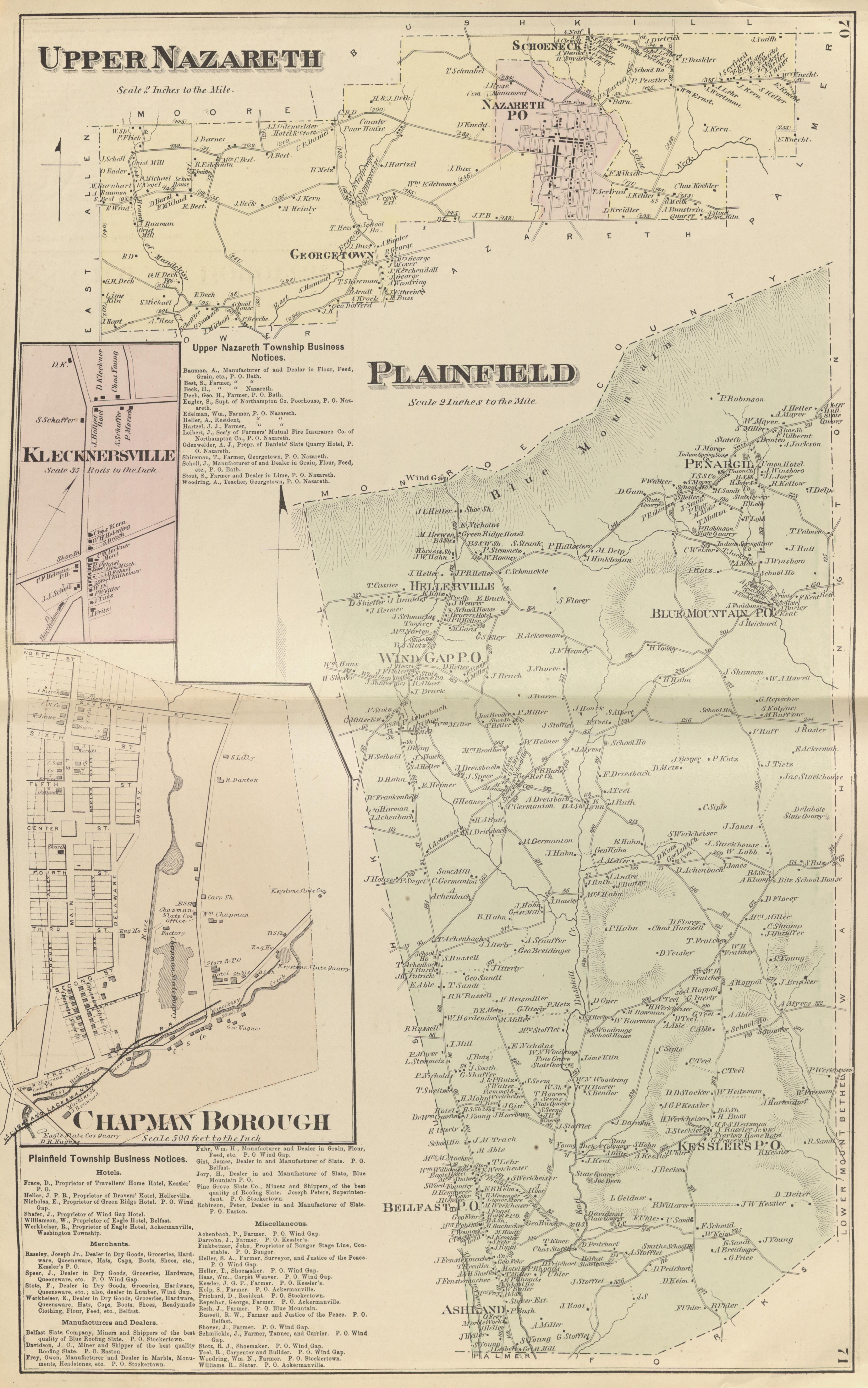 Upper Nazareth, Plainfield, Klecknersville, Chapman Borough
 Four maps showing Upper Nazareth, Plainfield, Klecknersville, and Chapman Borough, Northampton County, Pennsylvania,
-
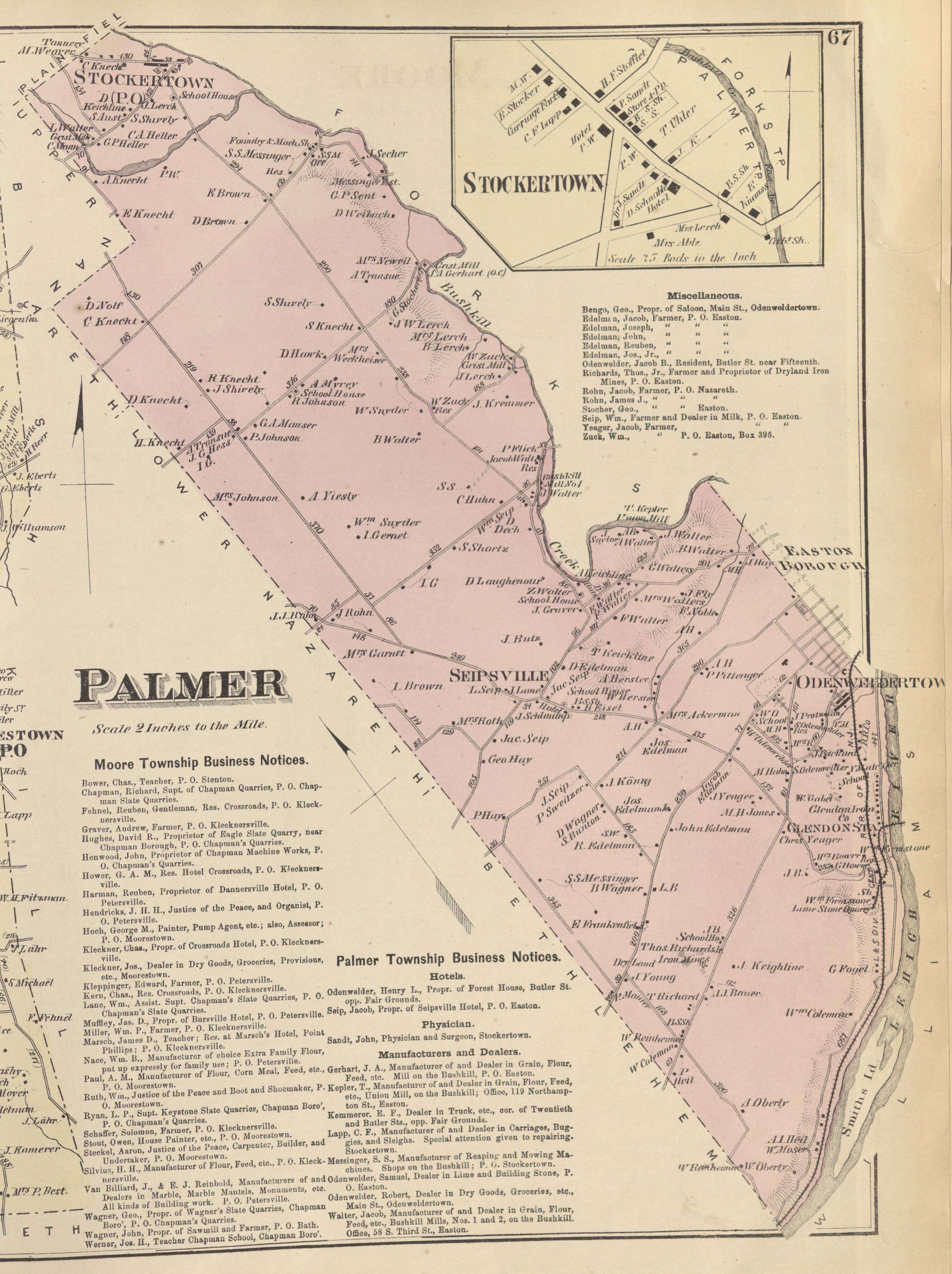 Palmer, Stockertown
 Two Maps showing Palmer Township and Borough of Stockertown, Northampton County, Pennsylvania
-
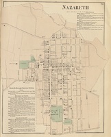 Nazareth
 Map of Nazareth, Northampton County, Pennsylvania
-
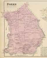 Forks
Forks Map of Forks Township,Northampton County, Pennsylvania
 Map No. 2. Lower Division. Location of the Extension of the Lehigh and Susquehanna Rail Road. From a series of 9 maps, detailing the Lehigh and Susquehanna Railroad running alongside the Lehigh River from Mauch Chunk to Easton. These maps also include surveying information on local landowners, towns, and cities.
 Map No. 1. Lower Division. Location of the Extension of the Lehigh and Susquehanna Rail Road. From a series of 9 maps, detailing the Lehigh and Susquehanna Railroad running alongside the Lehigh River from Mauch Chunk to Easton. These maps also include surveying information on local landowners, towns, and cities.
 Map Showing Lehigh Division Canal, Mauch Chunk to Easton : Also Diagram Showing Lifts of Locks and Lengths of Levels This map shows the Lehigh Division Canal from Mauch Chunk to Easton.
 Map of the Borough and Township of Mauch Chunk This large map shows a map of the Borough & Township of Mauch Chunk including plans of Nesquehoning, Summit Hill, the borough of Tamaqua, and the coal works of the Lehigh Coal & Navigation Company. Included in the top left corner of the map are two manuscript illustrations depicting the Mansion House of George Esser and the Superintendent's residence.
 Map of City of Bethlehem A plan of Bethlehem. This lithograph was produced by J. Probst in Philadelphia in 1841, then the leading map publishing center in North America.
 Chart of the Delaware River An engineering survey of the Delaware River made under the direction of the Lehigh Coal and Navigation Company in preparation for canal construction.
 Allentown to Easton: A Chart of the River Lehigh from Allentown to Easton An engineering survey of the Lehigh River from Allentown to Easton made under the direction of the Lehigh Coal and Navigation Company in preparation for canal construction. In the bottom right corner of the map is a table detailing the fall of the river from Mauch Chunk to Easton. Locations of limestone ridges, hills, and nobs are also featured.
 Part of Bethlehem Farms on the South Side of the River Lehy A pen and watercolor-on-paper survey map of the farms south of the Lehigh River by Bethlehem.
 City of Allentown From the "New Topographical Atlas of the State of Pennsylvania; with Descriptions Historical, Scientific and Statistical, Together with a Map of the United States and Territories."
 Map of Northampton Co., Pennsylvania : from actual surveys Map of Northampton County with multiple large scale inset maps of town centers including a large inset map of the City of Easton. The map also includes statistical tables and illustrations of selected buildings.
 Original Plan of Easton Hand drawn map showing original streets and plot owners of downtown Easton in the late eighteenth century.
 Bird's Eye View of Easton, PA. 1873 A Bird's Eye View map showing Easton and parts of South Easton and Phillipsburg, NJ, includes reference keys for selected public and commercial buildings
 Map of Northampton County Pennsylvania 1851 Map of Northampton County and surrounding features including the Blue Mountains, parts of Warren County, NJ and the Delaware and Lehigh Water Gaps, large scale inset map of Easton, PA.
 Plan of Easton [1789] Cadastral map of the Town of Easton
 Plan of the Town of Easton Map of the City of Easton and South Easton, Northampton County, Pennsylvania
 Borough of South Easton Map of the Borough of South Easton, Northampton Country, Pennsylvania, Philadelphia:
 Plan of Easton Part of 7th Ward Map of the City of Easton's 7th Ward, Northampton County, Pennsylvania
 Plan of Easton Showing the Part of 3rd Ward Map of the City of Easton's 3th Ward, Northampton County, Pennsylvania
 Plan of Easton Showing the 6th Ward Map of the City of Easton's 6th Ward, Northampton County, Pennsylvania
 Plan of Easton Showing the 1st, 2nd, 4th, & 5th Wards Map of the City of Easton showing the 1st, 2nd, 4th, and 5th Wards, Northampton County, Pennsylvania,
 Plan of Easton Map of the City of Easton, Northampton County, Pennsylvania
 Upper Nazareth, Plainfield, Klecknersville, Chapman Borough Four maps showing Upper Nazareth, Plainfield, Klecknersville, and Chapman Borough, Northampton County, Pennsylvania,
 Palmer, Stockertown Two Maps showing Palmer Township and Borough of Stockertown, Northampton County, Pennsylvania
 Nazareth Map of Nazareth, Northampton County, Pennsylvania
 Forks Map of Forks Township,Northampton County, Pennsylvania