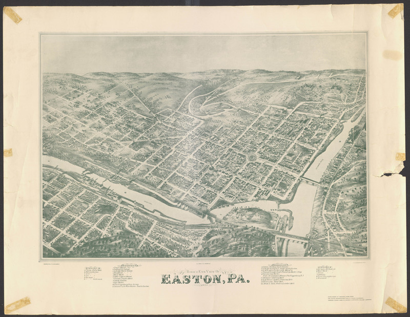
Image of a Hand Drawn Map (Ariel View) of Easton in 1873
Item
- Title
- Image of a Hand Drawn Map (Ariel View) of Easton in 1873
- Description
- The infrastructure, water sources, and different types of landscapes are depicted in the hand drawn map.
- Creator
-
Drawn and Published by Fowler & Bailey
Compliments of Ingersoll-Rand News - Source
- Lafayette College Special Collections
- Date
- Published in 1873. Date Retrieved was February 22, 2018.
- Contributor
- Rehnuma Nasrin

