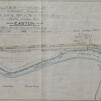
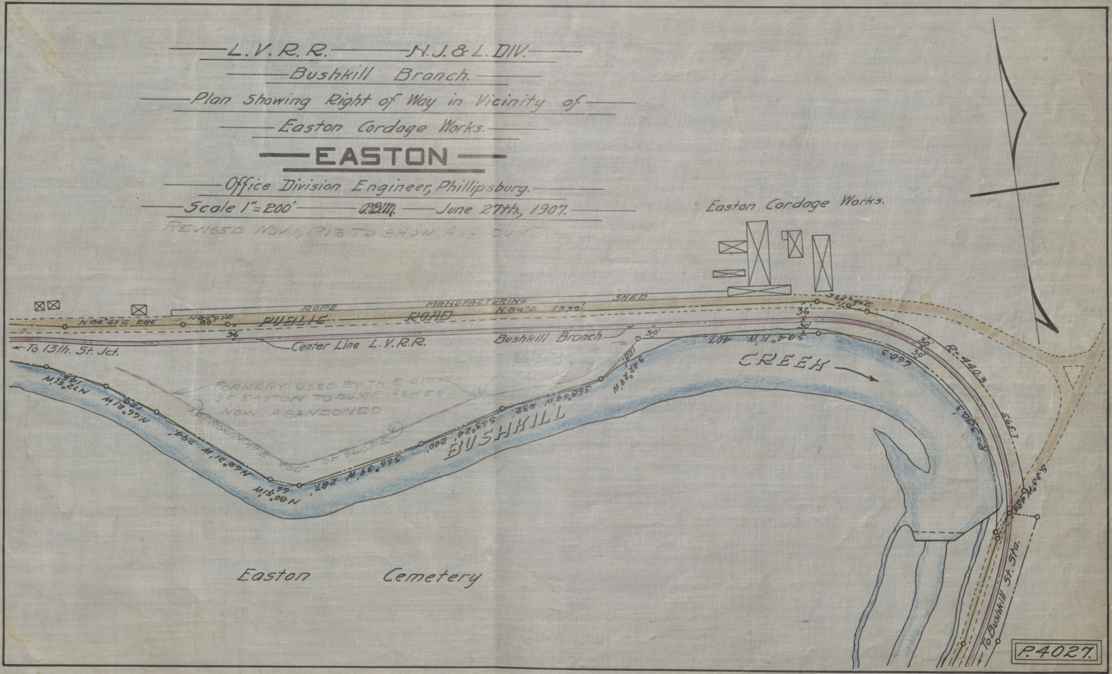
Bushkill Creek Planning Map for Cordage Works Right of Way, Easton, PA
Item
- Title
- Bushkill Creek Planning Map for Cordage Works Right of Way, Easton, PA
- Description
- Being a hand drawn map, this map is found within a series of photos created by the Easton Office Division of Engineering.
- Creator
- Easton Office Division Engineering, Phillipsburg
- Source
- N/A
- Date
- 27 June 1907
- Contributor
- Brent Knox