Lehigh Valley Historical Maps Consortium
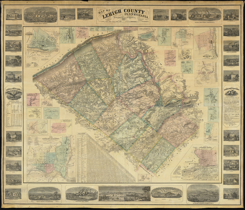
The Lehigh Valley Historical Maps Consortium (LVHMC) is a group of local archivists, librarians, curators, and historians with an interest in historical maps who collaborate with the goal of establishing a collective inventory of maps related to the Lehigh Valley. Ultimately this inventory will provide a centralized resource for the discovery of maps which have been digitized for access over the internet, as well as for those physical maps which remain in map drawers in libraries, museums and historical societies across the Valley.
Partners in the LVHMC
Bethlehem Area Public Library, Carbon County GIS & Mapping, Delaware & Lehigh National Heritage Corridor, Easton Area Public Library, Governor Wolf Historical Society, Historic Bethlehem Museums & Sites, Hunter-Martin Settlement Museum, Lafayette College, Lehigh County Office of GIS, Lehigh University, Lower Saucon Historical Society, Mauch Chunk Museum, Moravian Archives, Moravian College, Moravian Historical Society, Muhlenberg College, Museum of Indian Culture, National Museum of Industrial History, Northampton County Archives, Northampton County Historical & Genealogical Society, Slate Belt Heritage Center, South Bethlehem Historical Society, Summit Hill Historical Society, Weissport Historical Society.
Our Mission Statement:
The Lehigh Valley Historical Maps Consortium serves as a collaborative forum for cultural heritage and educational institutions to build accessible digital collections of historical maps and other geographic information that illuminates the history of the Lehigh Valley.
The Contact page contains more information.
Sponsored in part by the Lehigh Valley Engaged Humanities Consortium, with generous support provided by a grant to Lafayette College from the Andrew W. Mellon Foundation. Hosted by Lafayette College Libraries.

