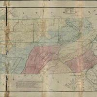
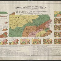
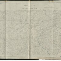
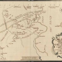
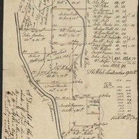
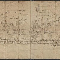
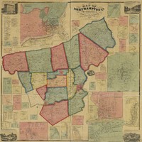
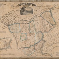
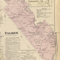
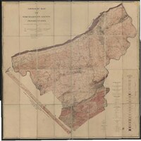
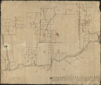
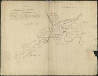
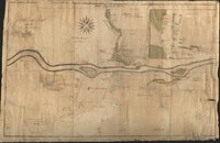
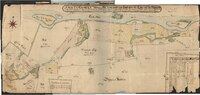
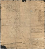
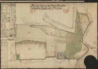
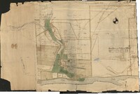
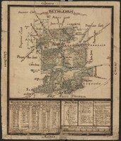
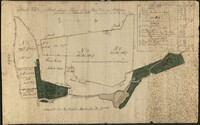
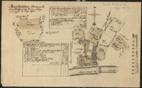
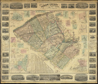
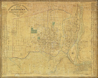
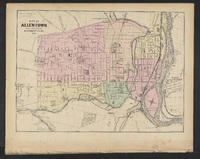
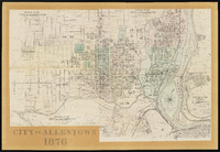
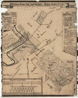
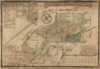
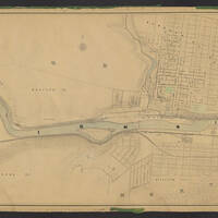
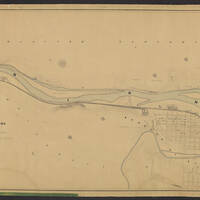
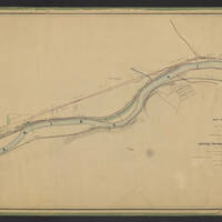
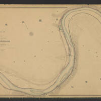
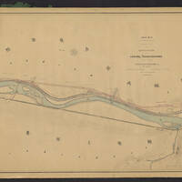
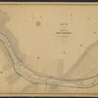
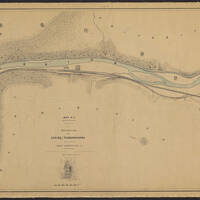
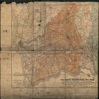
Digital Map Collections
This collection includes digital map images which may be accessed directly through this site by clicking on the thumbnail image. A page will then display showing more information about the map. Scroll to the bottom of this page and click on the thumbnail image, a media page will open featuring the map image, click on that and a full image will then open in your browser. You may then download that image from your browser. The maps may also be accessed by clicking on the link under Source. This link will take you to the digital collections of the contributing institution.