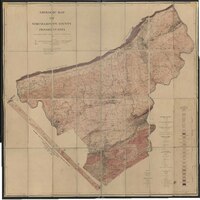
Geologic map of Northampton County
Item
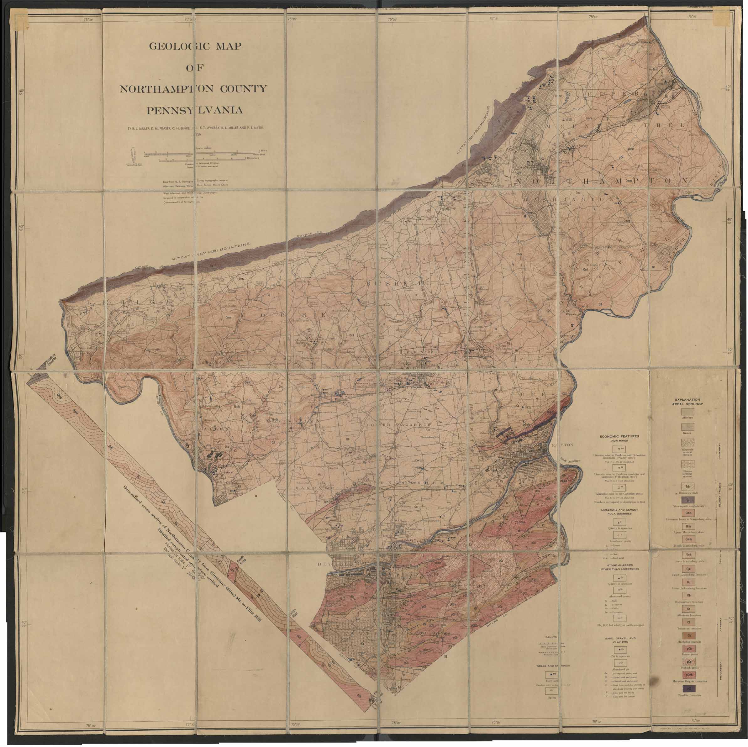
- Title
- Geologic map of Northampton County
- Creator
- B. L. Miller; D. M. Fraser; C. H. Behre Jr.; E. T. Wherry; R. L. Miller; P. B. Myers
- Date
- 1939
- Description
- Printed map of Northampton County showing mines, quarries and pits, in addition to geological composition using aerial technology.
- Provenance
- Moravian Archives, Bethlehem, Pennsylvania
- Item sets
- Historical Maps of the Lehigh Valley
- Site pages
- Digital Map Collections