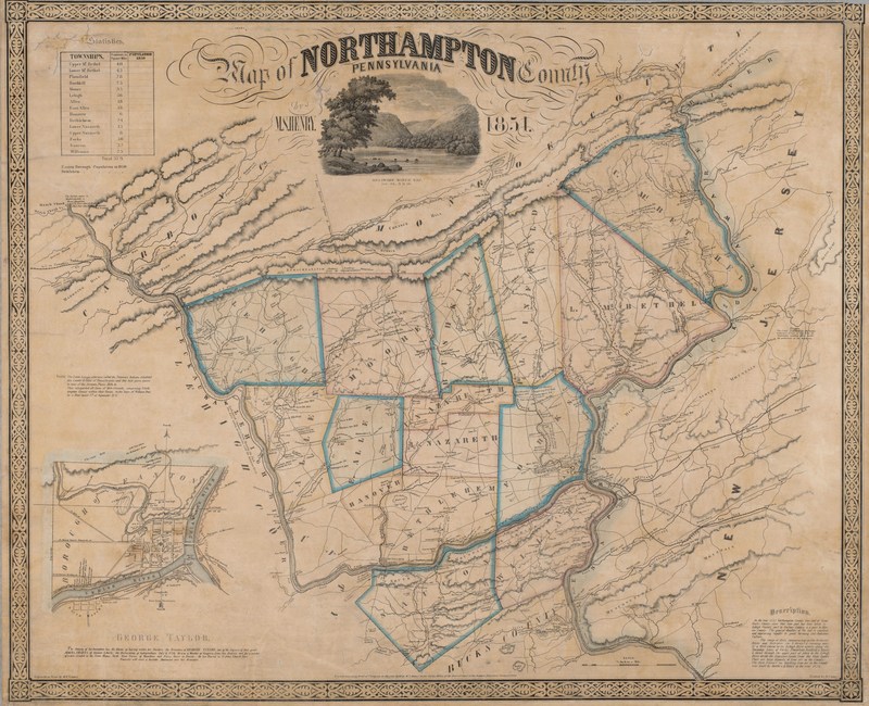
Map of Northampton County Pennsylvania 1851
Item
-
Title
-
Map of Northampton County Pennsylvania 1851
-
Creator
-
Henry, M.S.
-
Date
-
1851
-
Description
-
Map of Northampton County and surrounding features including the Blue Mountains, parts of Warren County, NJ and the Delaware and Lehigh Water Gaps, large scale inset map of Easton, PA.
-
Publisher
-
Philadelphia? : s.n.
-
Contributor
-
Traubel, M. H., Lithographer; Camp, John Henry, Printer
-
Spatial Coverage
-
Easton, Northampton County, Upper Mt. Bethel, Lower Mt. Bethel, Plainfield, Bushkill, Moore, Lehigh, Allen, East Allen, Hanover, Bethlehem, Lower Nazareth, Upper Nazareth, Forks, Saucon, Williams
-
Provenance
-
Easton Area Public Library
-
Rights
-
Public domain


