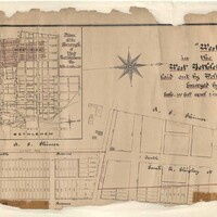
Map of a proposed development of "West Side" in Bethlehem
Item
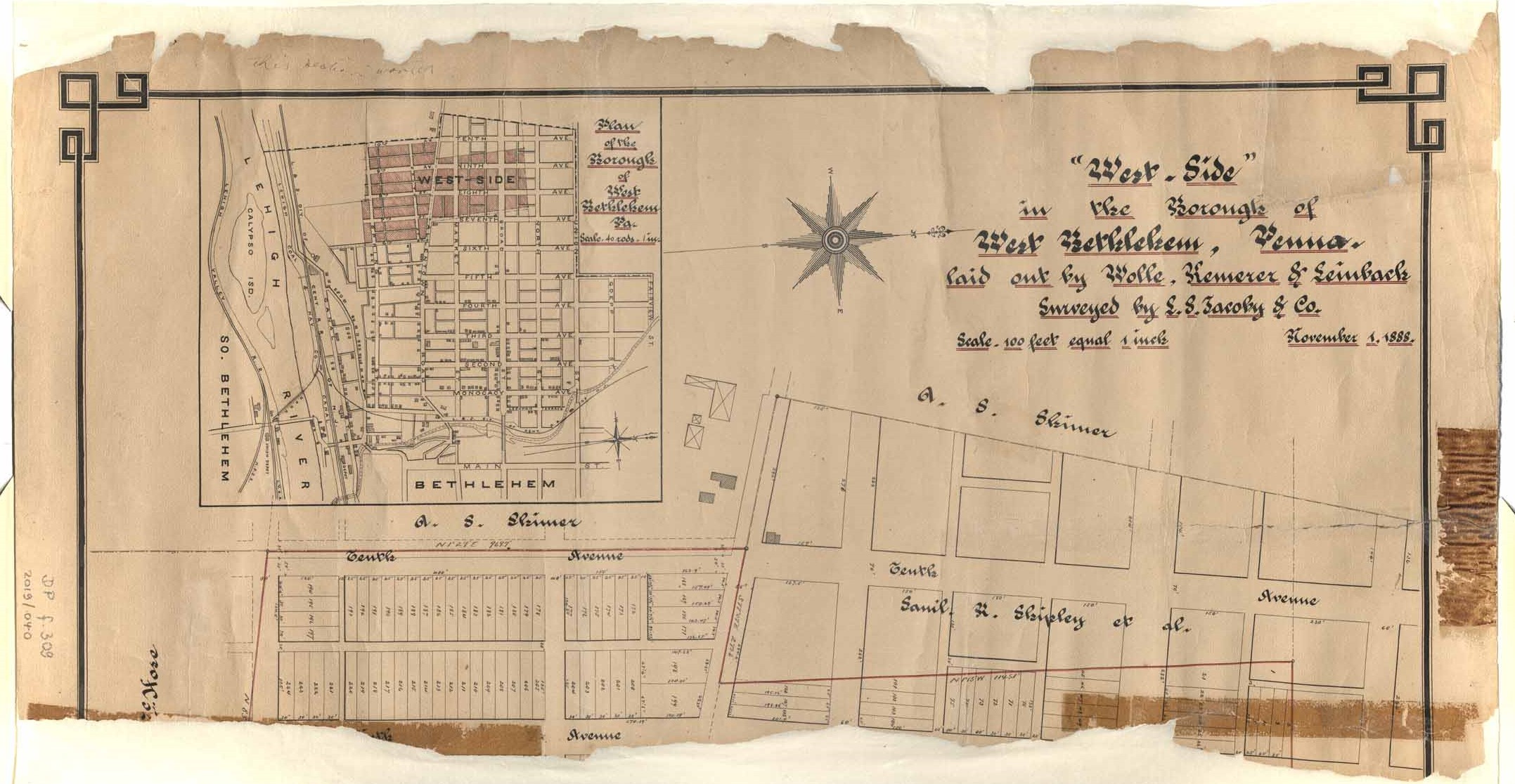
- Title
- Map of a proposed development of "West Side" in Bethlehem
- Creator
- L. S. Jacoby & Co.
- Date
- 1888
- Description
- Pen drawing of a proposed development of "West Side," an area between Sixth Avenue, Spring Street, Tenth Avenue, and Raspberry Street in West Bethlehem, PA.
- Is Part Of
- Collection of Drawings and Prints
- Spatial Coverage
- Bethlehem, Lehigh County, Pennsylvania
- Provenance
- Moravian Archives, Bethlehem, Pennsylvania
- Item sets
- Historical Maps of the Lehigh Valley
- Site pages
- Digital Map Collections