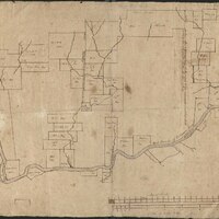
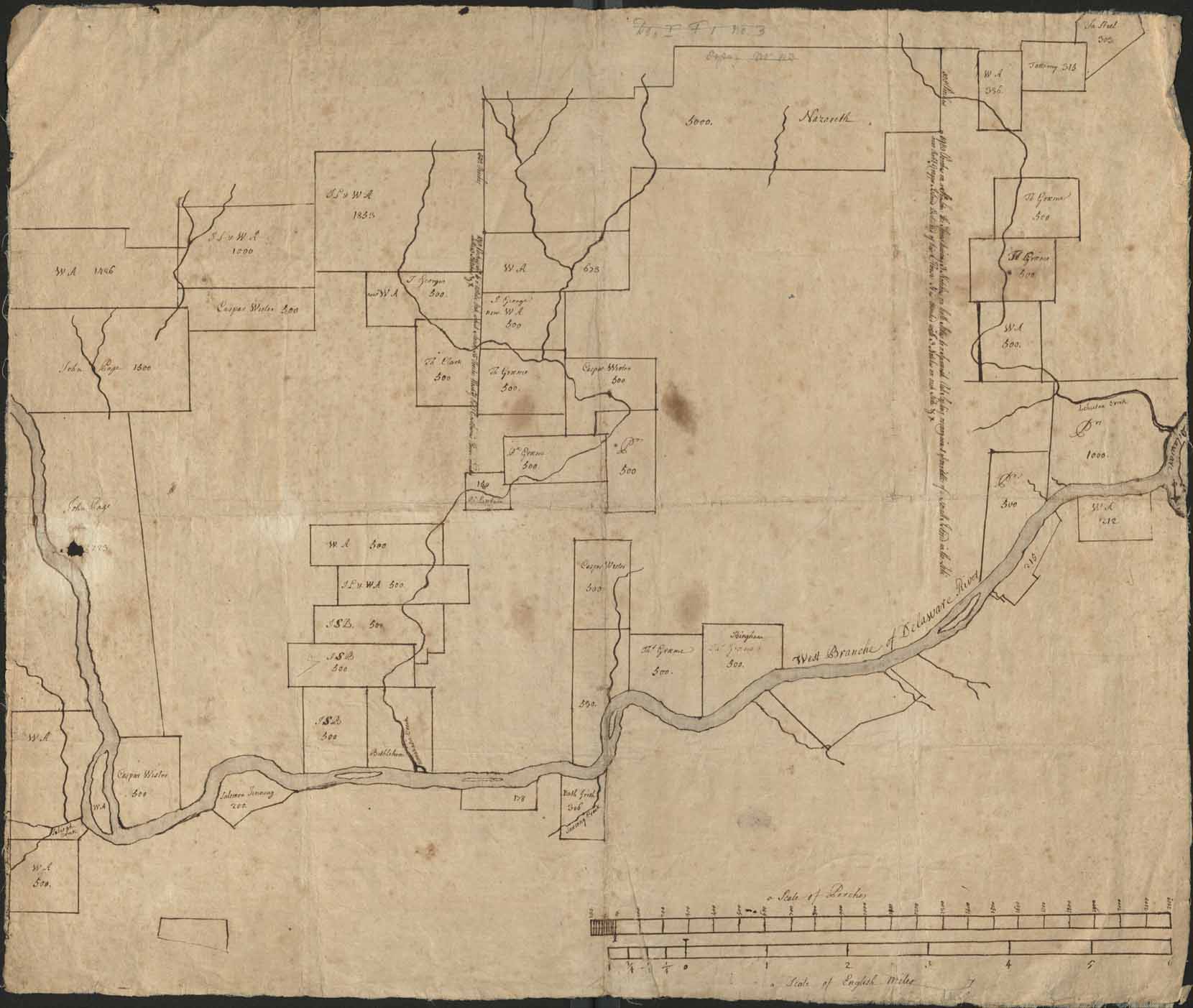
[Cadastral map of Lehigh Valley lands between Allentown, Bethlehem, Nazareth, and Easton]
Item
- Title
- [Cadastral map of Lehigh Valley lands between Allentown, Bethlehem, Nazareth, and Easton]
- Creator
- Unknown
- Date
- ca. 1742
- Description
- Cadastral map showing land holdings along the Lehigh River.
- Is Part Of
- Collection of Drawings and Prints
- Spatial Coverage
- Northampton County, Pennsylvania
- Provenance
- Moravian Archives, Bethlehem, Pennsylvania
- Item sets
- Historical Maps of the Lehigh Valley
- Site pages
- Digital Map Collections